



Record highs likely today.
The Saharan Dust we've been talking about over the last several days will be over our area today and into the weekend. Its biggest impacts will be felt today and tomorrow.
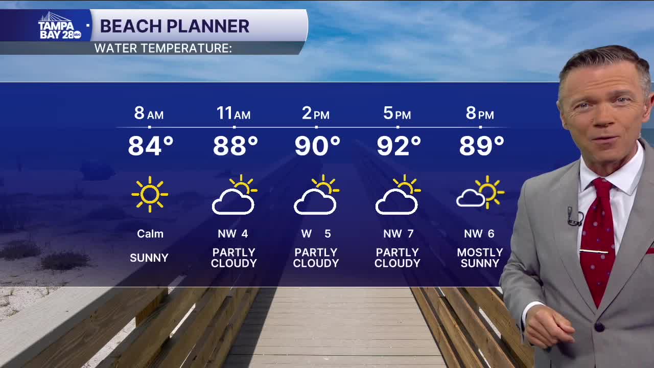
The greatest change we'll see will be a reduction in afternoon rain cover. That will allow temperatures to reach the mid- to upper 90s, and maybe even near 100°F in some towns. A heat advisory has been issued for heat index values up to 110F.
Another record high could be set on Friday, with temperatures in the upper 90s. Friday evening, however, there is a great chance of late-day and evening showers and storms. With winds somewhat offshore, these could make their way back toward the beaches.
The rain coverage will return to 40% on Saturday afternoon. Late in the weekend and next week, a front in the southeast U.S. will pull the best afternoon rain chances north of the I-4 corridor, dropping our coverage to just 20-30% on Sunday and Monday.
