


A front will bring some changes to our weather through mid-week.
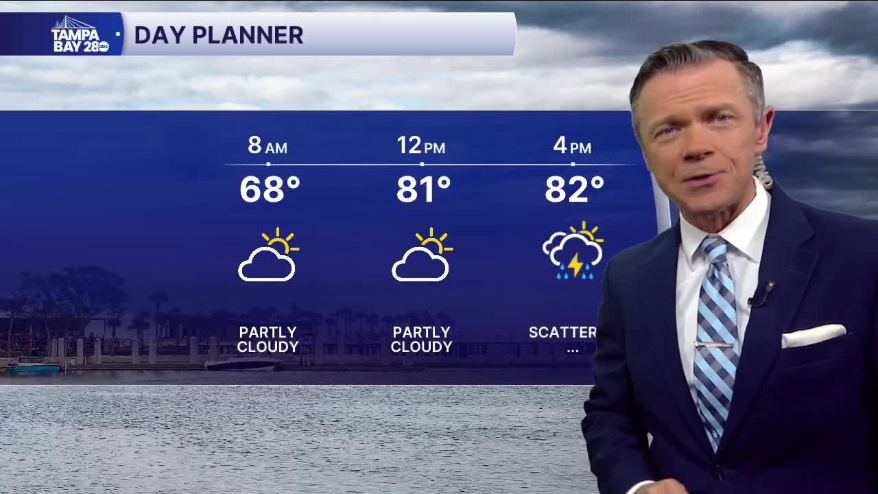
Expect a dry and mild start on this Monday with temperatures in the 60s and low 70s, along with mostly clear skies. Conditions will remain dry through midday today. During the afternoon, though, pop-up rain and storms will return with highs back into the 80s. The heaviest rain coverage will be east of the coast.
Tuesday will be cooler with highs only in the 70s. A wave of low-pressure will ride along the front through Florida, increasing the chances for rain and storms during the day. Some of the rain may be heavy in spots, with once again, the heaviest coverage most likely east of the coast.
As the low pressure moves by and away from us on Wednesday, we're likely to get into a steady NE breeze. Clouds will hang around, and scattered showers are likely on Wednesday with highs only in the 70s.
The storm system will move out completely by the end of the week and the weekend. Highs will warm into the 80s on Saturday and Sunday with little to no rain expected.
Have a great Monday!
