

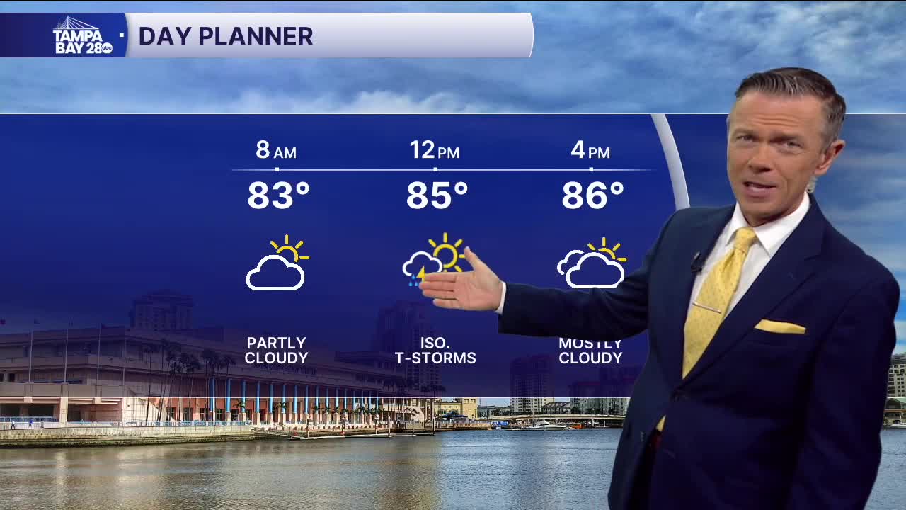


Scattered storms return today.
Check the radar often this morning as showers and storms are likely to develop over the Gulf waters as we go through the first half of the day. These will shift east toward the coast as we move toward midday. The highest rain chances west of I-75 will be in the morning through midday. After midday, the rain will tend to shift east of I-75.
A stronger front will approach central Florida on Thursday. Look for a more active day of showers and storms Thursday, including in the morning. Areas of heavy rain will be possible, and temperatures will likely stay in the 80s all day.
Friday and through the weekend, the front sits around and slowly weakens. Each day there will be a 60% chance of showers and storms. No one day will be a washout, but definitely keep an eye on the radar through the weekend.
