

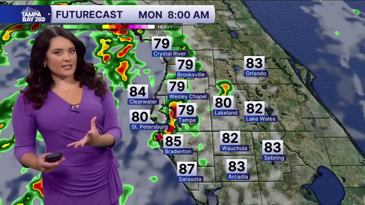


TAMPA, Fla. — Good Monday morning, Tampa Bay! More rounds of rain are possible as TD #2 continues to spin in the northern Gulf. Most of the activity will be to the west of I-75. Numerous showers and storms will remain near the beaches throughout the day. Wind gusts could at times reach 30 mph. Temps start in the 70s-near 80 degrees. Highs will struggle to hit 90 degrees to the west of 75; east of 75 is more likely.
As the storms slowly move west, rain chances and winds should die down. Tuesday maybe a few of the farthest outer bands still clip the coast, but the majority of us should dry out, but cloud cover could linger. Highs still near 90 degrees.
Wednesday through Thursday, the system should move far enough away that rain chances look sparser. Highs warm back up to the low- to mid-90s. The weekend looks like a real Florida summertime pattern returns. Additionally, highs could be more widespread in the mid-90s, feeling into the triple digits, with PM showers and storms.
I hope you all stay dry!
