

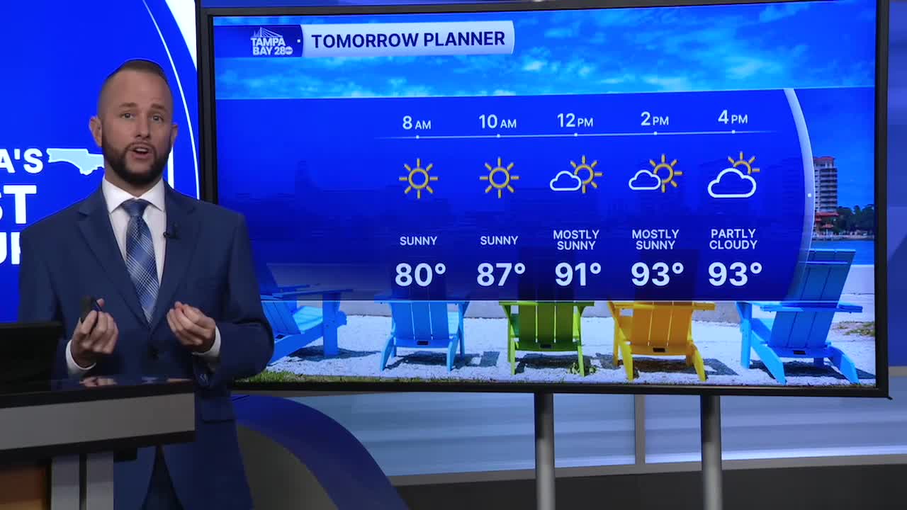


Get ready for a hot Sunday as we see very little rain and cloud cover thanks to high pressure and dry air aloft. The air sinks beneath high pressure which heats things up and keeps the air from rising to give us our usual widespread summer storms.
We'll see a 10% chance for the sea breeze to help us out with a storm or two, but most stay dry and hot. Highs will reach the low to mid 90s in our coastal counties, with inland counties reaching the mid to upper 90s.
Heat indices will top out in the 105-110 range, but a few unlucky spots could exceed 110. We'll likely have another heat advisory in place from the NWS by Sunday morning.
Next week, we'll slowly see the high move to our south. That will allow the air to get a bit more moist and the sinking air will subside. Unfortunately, it's not all good news. High pressure to our south brings in the west wind, and we know what that means... the highest rain coverage shifts over to I-95.
Rain coverage should get a little better either way. Wednesday on, rain coverage will be back up to around 40%.
