

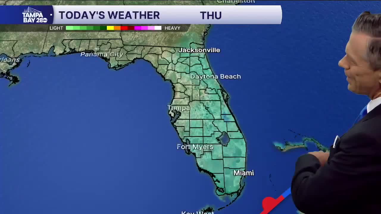


Good morning, Tampa Bay! If you’re stepping out the door early this Thursday morning, it feels pretty comfortable out there, but that persistent breeze is still making itself known. Right now around the bay, we’re waking up to partly cloudy skies with temperatures sitting in the low 70s and dew points hovering in the mid-to-upper 60s. We’re still caught in that tight pressure gradient between high pressure anchored well to our north and lower pressure down across the Straits, which is keeping a steady northeast breeze stirring at 10 to 15 mph with occasional higher gusts.
As we head through the day, expect partly sunny skies with afternoon highs climbing right around 85 to 86 degrees. With low-level Atlantic moisture continuing to funnel across the state, we could see a few isolated, quick-moving showers push across the peninsula, but rain chances around Tampa stay low at 10% to 20%. The northeast breeze will stay active today, though winds and seas will finally start trending down from peak advisory levels as we head toward tonight. Overnight lows will settle comfortably in the low 70s under partly cloudy skies.
Friday holds warm in the mid-80s with plenty of sunshine and the breeze continuing to relax, setting us up nicely for the weekend. For Halloween on Saturday, daytime highs will push into the mid-80s. While a slightly wetter pattern approaches with rain chances bumping up toward 30% for scattered afternoon showers or a stray storm, the wind will have completely died down compared to the last few days, leaving things warm and muggy for trick-or-treaters heading out into the evening.
