


A few more pop-ups today.
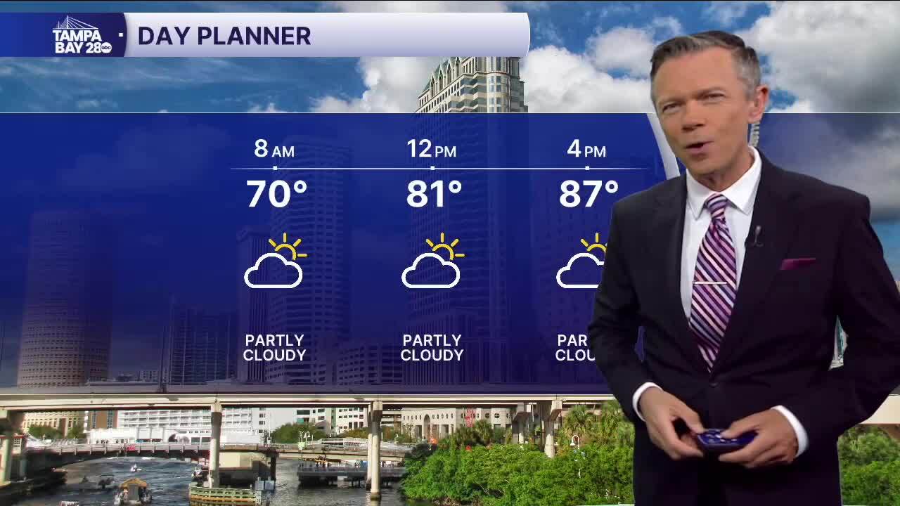
We'll start Friday dry. Morning temperatures are the warmest we've seen all week with many towns starting the day around 70F. A few patches of fog are possible in places that saw some rain Thursday evening.
Highs will once again reach into the mid and upper 80s on Friday afternoon. Southeast breezes will continue to push some showers from east to west across the state. Today's rain coverage will likely be around half of what it was on Thursday with the rain chances around 30%. The heaviest showers are once again most likely closer to the coast late today.
Saturday will be the driest of the weekend days with afternoon rain coverage of only around 10%. Highs will reach the upper 80s.
Sunday will also be warm with highs in the upper 80s. Rain chances return on Sunday afternoon. Expect coverage to be a little higher than on Saturday with a 20% chance of some PM showers and storms.
It continues to look like a weak front will settle across central Florida next week. With it, we're likely to see a day or two of some higher rain coverage, most likely centered on Tuesday. With more clouds, higher rain chances, and a northeast breeze off the Atlantic, highs may stay in the 70s for a day or two.
Have a great weekend!
