

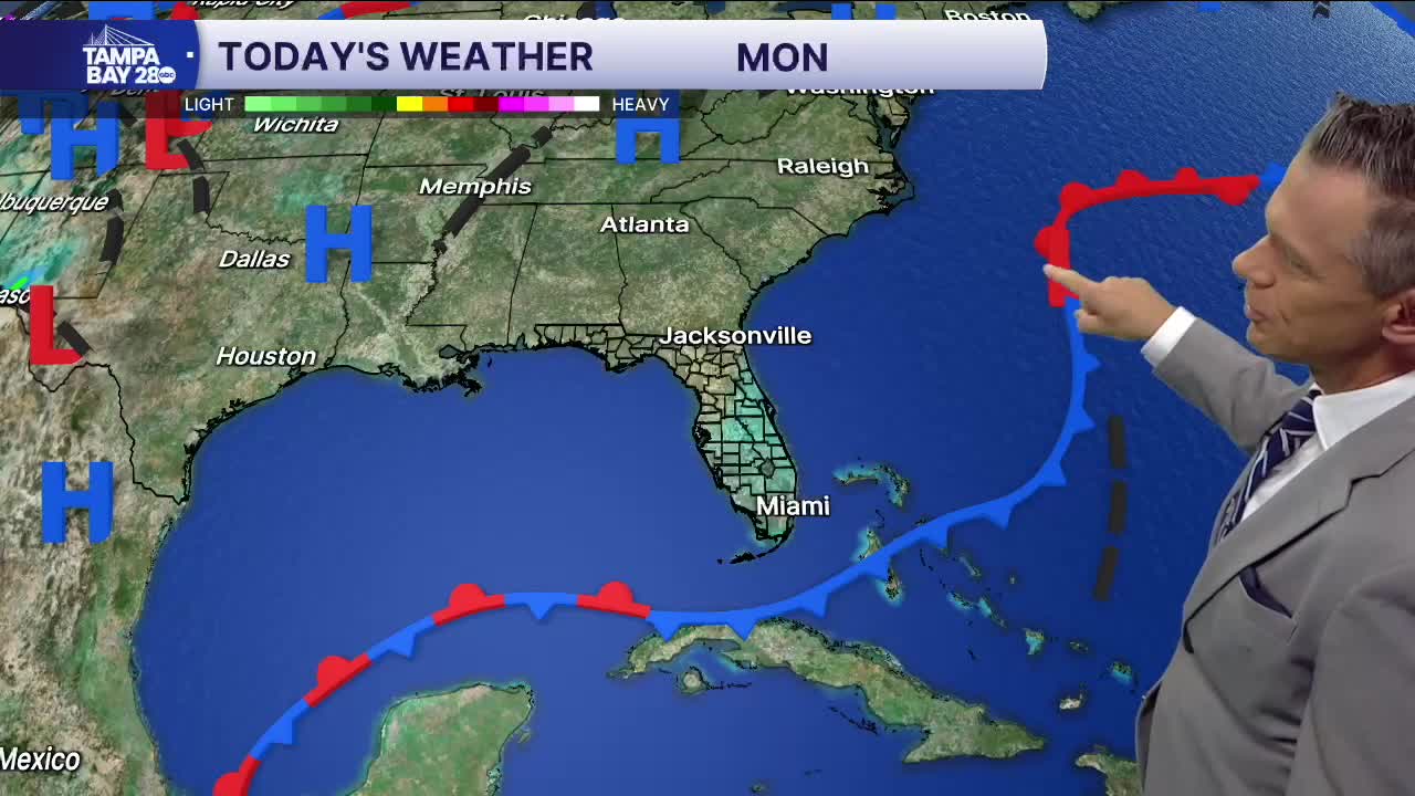


Good morning, Tampa Bay! If you’re stepping out early this Monday morning to walk the dog, grab coffee, or squeeze in a sunrise workout, it feels fantastic out there. Right now across the bay, we’re seeing mostly clear skies with temperatures sitting comfortably in the upper 60s to around 70 degrees, but you will definitely notice that brisk northeast wind already kicking up. We’ve got sustained breezes running 13 to 15 mph with occasional gusts over 20 mph, thanks to high pressure building to our north and tightening the pressure gradient over Florida. That post-frontal dry air has completely scoured out the stickiness, bringing dew points right down around 60 degrees.
As we roll through today, it is pure fall sunshine from start to finish. Afternoon highs will top out around 81 to 84 degrees, and with the lower humidity, it won't feel oppressive at all. The main headline will continue to be the wind. Expect that northeast breeze to stay persistent and gusty through the afternoon, blowing 15 to 20 mph with gusts near 25 mph. If you’re taking the bike out on Bayshore or heading out on foot, be ready to fight a stiff headwind whenever you’re pointed east or northeast. For boaters, keep in mind we have Small Craft Advisories running through tonight, with choppy to rough conditions across Tampa Bay and coastal waters. Skies stay wide open tonight as winds gradually ease back, letting overnight lows tumble down to a crisp 61 to 62 degrees.
Tuesday brings more of the same, and it might just be the pick day of the workweek. We’ll see full sunshine all day long with afternoon highs once again reaching the low 80s. The wind won't have quite the same punch as today, settling into a gentler north-northeast breeze around 10 to 15 mph, which will make for a moderate chop on the water and nearly ideal conditions for patio dining or outdoor plans. With dry air firmly anchored in place, rain chances stay locked at zero percent, leading into another clear, refreshingly cool night with lows settling back near 60 degrees.
By Wednesday, our quiet, comfortable weather pattern holds strong. High pressure keeps complete control over Central Florida, meaning wall-to-wall blue skies and no rain anywhere on the radar. Temperatures will creep up just a couple of degrees into the low to mid-80s during peak afternoon heating, accompanied by an easy northeast breeze around 10 to 15 mph. We’ll wrap up the three-day stretch with clear skies Wednesday night and lows hovering in the low 60s. It is textbook mid-October weather across West Central Florida, so make sure to get outside and take advantage of this stretch of dry air!
