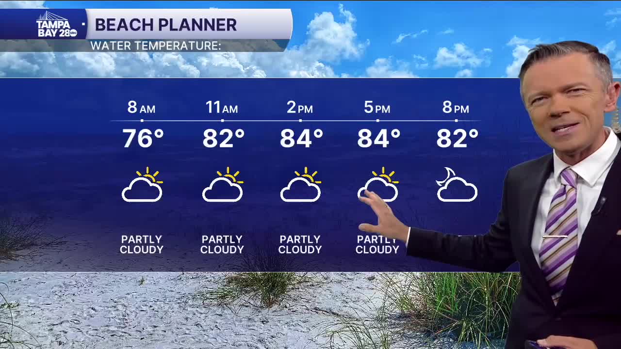
A few showers are possible today.
As tropical storm Imelda heads north through the Bahamas, Florida will see some minor impacts from the storm. This will mainly be in the form of a wind off the Atlantic that will bring sct'd showers to the east coast of the state. Some of these showers will impact towns east of I-75 through the afternoon. A few of these showers will make it to the west side of the state by late this afternoon or early evening.
As Imelda moves away from the Bahamas on Tuesday, drier weather will briefly move back in. Look for lower rain coverage on Tuesday and Wednesday with only a 20% chance of some afternoon pop-up rain.
By the end of the week, it looks like moisture levels will increase with higher rain chances coming back into the state by the end of the week and into the start of the weekend. It looks like right now the highest rain chances will be around on Saturday.
TROPICS: Humberto will turn out to sea this week as a major hurricane. It will then gradually weaken. The storm will pass far enough from Bermuda to not have a major impact. Tropical Storm Imelda will move out of the Bahamas today and become a hurricane by Tuesday as it moves ENE. This storm may be a threat to Bermuda as a Category 1 hurricane on Thursday morning.


