

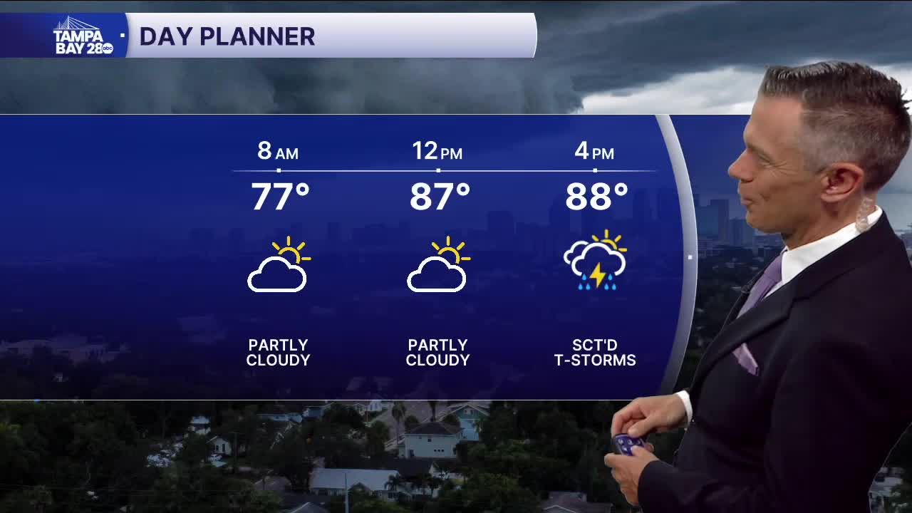


Another round of evening rain.
No issues in terms of rain this morning or midday. Temperatures in the 70s early will warm to the low 90s by early afternoon. A few pop-ups are possible after lunch followed by a stronger area of rain this evening. Some of the heaviest rains are likely around commute time in counties that border the Gulf. Watch for localized flooding while the rain is moving through.
Wednesday's rain coverage may be more widespread and less reliable in terms of timing because of increased moisture levels from the leftovers of Tropical Storm Dolly. The moisture will allow storms to form earlier and be a lot more sct'd. There will also be more clouds that will keep temperatures in the upper 80s for some towns.
Once this moisture moves out, we'll see a return to typical PM sct'd storms Thursday into the weekend with overall coverage trending down a bit by the weekend.
TROPICS: Tropical Storm Edouard will make landfall in the northwest Gulf today around midday. The storm will then slowly weaken while bringing heavy rain to parts of east and southeast Texas. Flooding is possible overnight and Wednesday between Waco, Lufkin, Houston and Beaumont.
