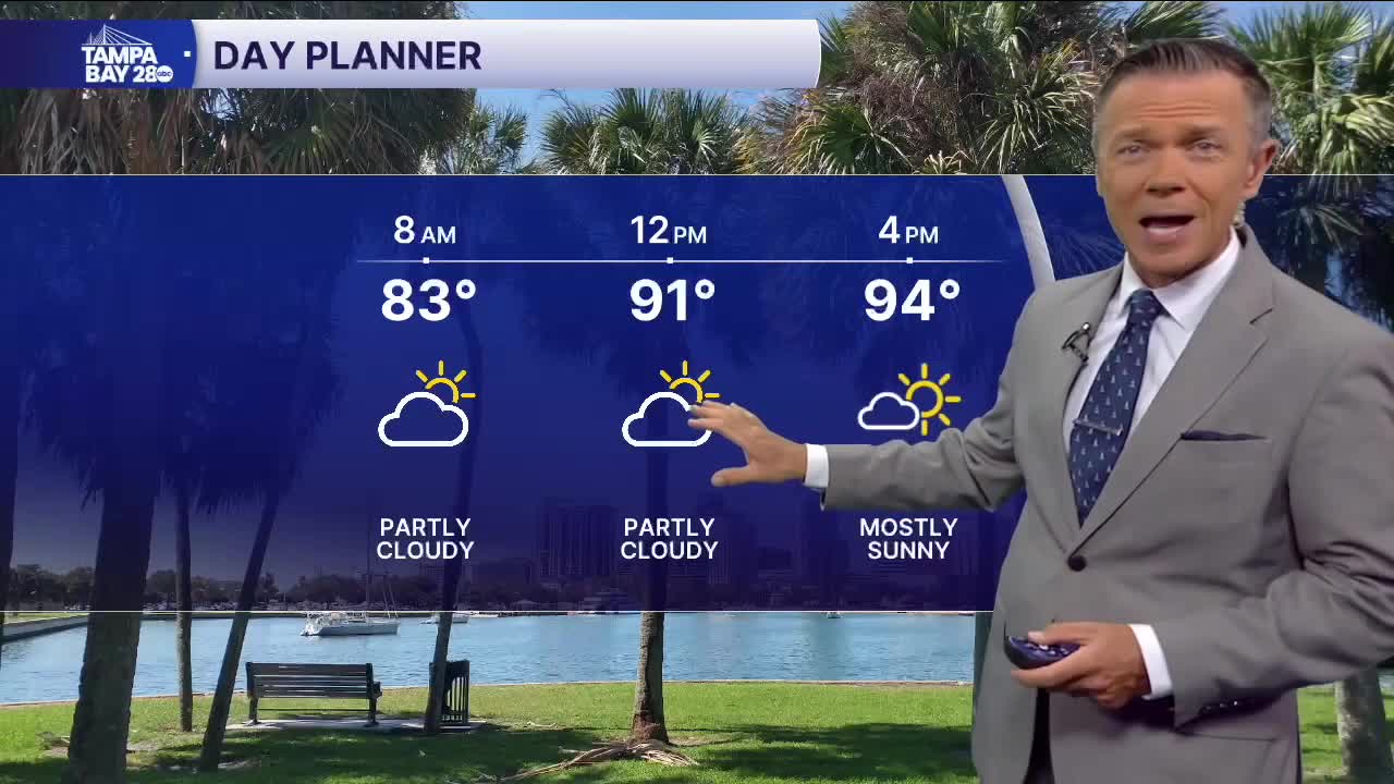


Mostly sunny with highs in the 90s today.
It's another warm start across the area this morning, with temperatures in the 70s for most, except around the Bay and near the beaches, where we have low 80s.
Look for another hot day today, with highs in the mid- to upper 90s, which is near record levels for most. With the humidity, expect it to feel like it's in the low 100s at times. Rain is unlikely west of I-75 today. Most of the pop-ups will be south of I-4 and east of I-75.
It looks like on Wednesday, we'll actually see a little higher rain coverage for most people. A weak front will get close enough to our area to produce some extra clouds on Wednesday morning. Then, as temperatures warm, we'll see a higher chance of some pop-up showers and storms. These will get going as early as late morning and will be around through the afternoon. Just like the last several days, the coast will have the lowest chance of rain.
This system will move out on Thursday, and we'll see a return to more typical pop-up showers and storms for the rest of the week and into the weekend, with rain chances around 30% and highs in the 90s.
Have a good Tuesday!
