


TAMPA, Fla. — Mostly sunny and hot today.
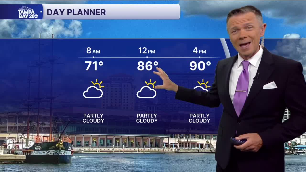
We're starting the day with relatively comfy temps. Many towns are in the 60s, with only low humidity. The warmest locations this morning are around the Bay and points south, where temperatures are in the 70s.
Highs will be back to some very warm levels this afternoon. While the beaches are expected to stay in the low 80s because of the sea breeze, those farther west will warm into the upper 80s. East of I-75, you'll definitely see most towns reach into the low 90s this afternoon.
No changes to the forecast for Thursday. We'll see mostly sunny skies and highs around 90.
On Friday, the leftovers of a cold front to our north may get close enough to bring a low chance of showers north of I-4 during the afternoon and evening. Most of these will be away from the coast.
That front will wash out by the weekend. Although we'll likely continue to see lots of scattered clouds on Saturday and Sunday, both weekend days are looking hot and dry with temperatures around 90.
Another, potentially stronger, front may impact us early next week, bringing with it a chance of some scattered showers on Monday.
Have a good Wednesday!
