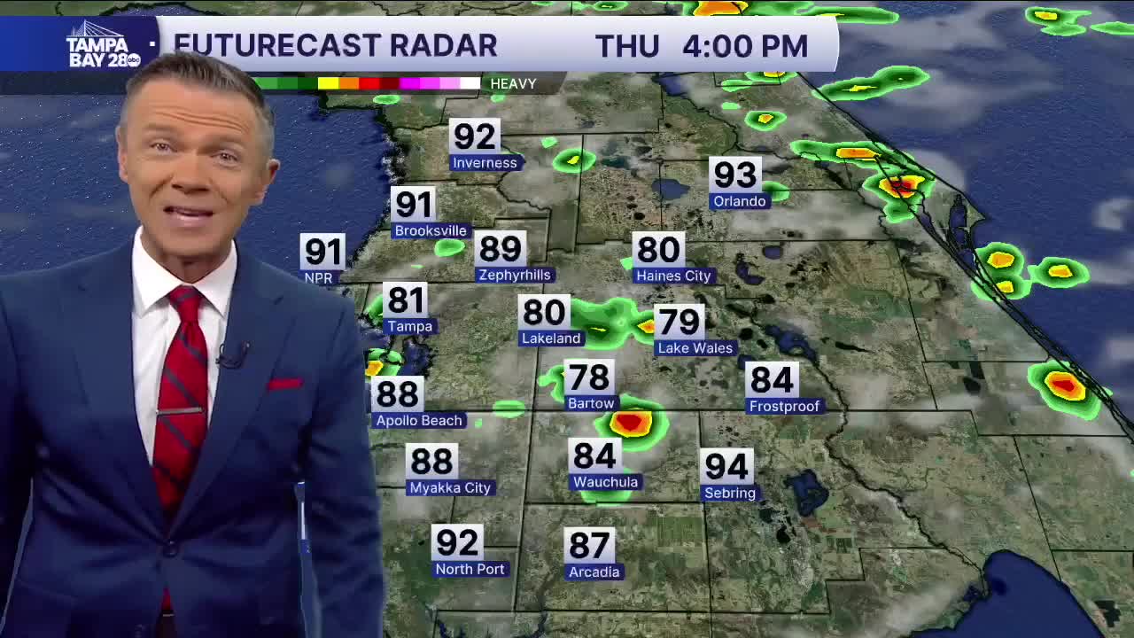
The high humidity is back today. Highs return to the low 90s with a heat index in the low 100s during the afternoon. With an on-shore flow, expect a few pop-ups closer to the coast early in the afternoon with those storms shifting east during the afternoon and evening.
The pattern remains the same on Friday with highs back in the 90s. Rain coverage during the afternoon will be 20-30%.
Expect the rain coverage to increase slightly as we move through the holiday weekend. Rain chance increases to 40% on Saturday. Sunday will likely be the wettest day of the weekend with rain chances up to 70%. This may be the one day this weekend when you may want to have solid backup plans.
Monday will start to see a drop in afternoon rain coverage down to 40%. Highs on Labor Day will reach the upper 80s and low 90s.
TROPICS: Fernand continues to move out to sea. A weak tropical wave will move off the African coast early next week. There is a very low chance that this will develop. The rest of the Atlantic looks calm.


