


Less rain today.
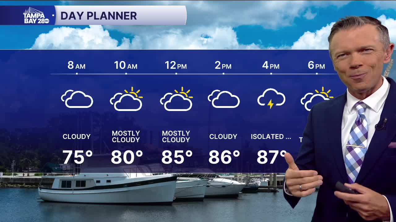
We're waking up to mostly dry conditions on this Wednesday with more comfortable temperatures in the low and mid-70s. A few areas of rain over the Gulf will impact towns south of the Bay this morning, mainly in southern Sarasota County and potentially farther east into DeSoto too. These showers and storms will spread more clouds north toward the I-4 corridor.
For most towns, the highest chance of rain will mainly be in the afternoon as some pop-up storms develop. These will be sct'd and will generally move toward the southwest.
Rain coverage on Thursday and Friday will be even lower. There will generally be a 40% chance of rain during the afternoons, with most of the rain falling south of I-4.
Slightly drier air this weekend will drop rain coverage to around 20% each day and morning temperatures that could dip into the 60s, especially away from the coast.
TROPICS: Today is the peak of hurricane season. There are currently no active storms that we are tracking, and no development is expected over the next 7 days across the Atlantic.
