


Sct'd rain and storms return today.
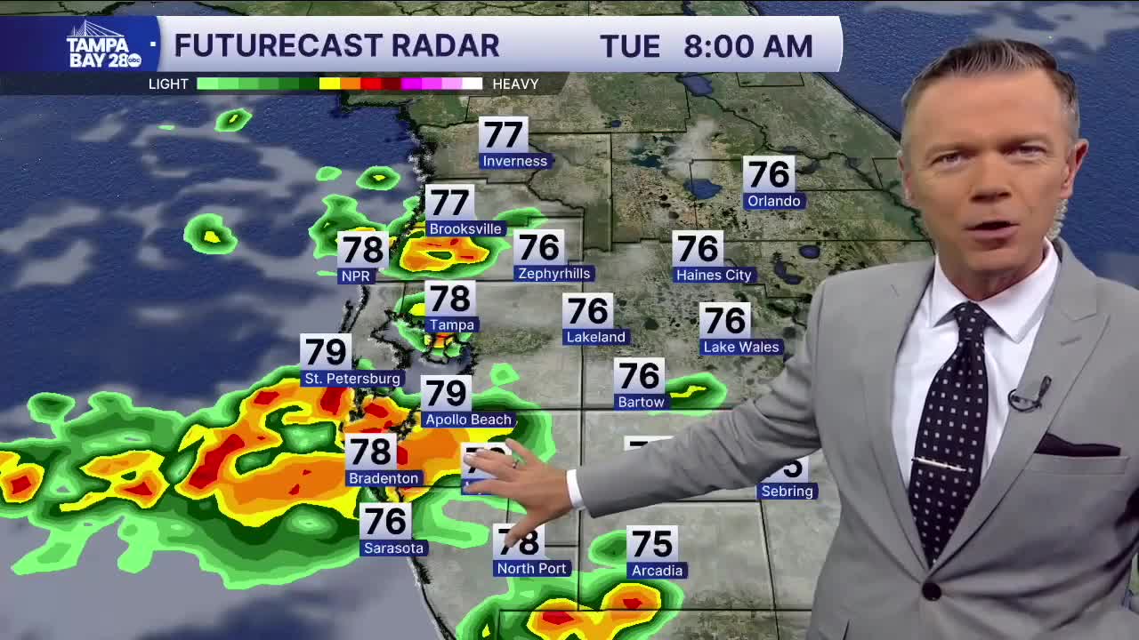
Our long stretch of sct'd rain continues into today. There may, however, be a slight shift south in terms of where some of the heavier rain will fall today, with lighter amounts north of I-4 and the Bay. Overall rain coverage will be around 60% with temps mostly in the 80s.
The first major autumn front of the season will impact much of the US over the next couple of days....except central Florida. We will not be getting any of the cooler air behind this front. We may, though, get a brief visit from some noticeably drier air on Wednesday. It will still be hot with temps in the 90s, but at least it won't feel like 105F during Wednesday afternoon.
Normal rain coverage, higher humidity, and temps in the 80s and low 90s return by the weekend and will continue through Labor Day.
TROPICS: Fernand continues to move away from the US east coast and into the North Atlantic. The storm will weaken as it gets to colder waters. No other tropical development is expected over the Atlantic basin in the next 7 days.
