

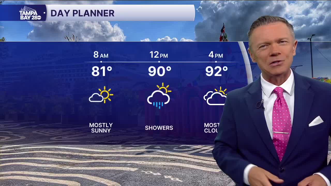


No heat advisory today; still hot.
We're waking up to heat and humidity levels that are truly uncomfortable this morning. Many towns near the coast are seeing a feels-like temperature in the upper 80s or even the low 90s. Highs will return to the low and mid-90s this afternoon. Heat advisories have not been issued for our area, but it will still be plenty hot with a heat index of 100-104F later this afternoon.
The morning will be dry. A couple of pop-up downpours are possible midday into the afternoon. There may be one or two near the I-75 corridor early, then those will spread east, with the highest coverage today definitely toward the I-95 corridor this evening.
It looks like, in terms of rainfall, the winds will be more in our favor on Friday. There will be a light offshore flow. This usually means more midday heat, but also a better chance of scattered thunderstorms during the afternoon and evening, even close to the coast. Rain coverage could be as much as 40% on Friday and 30% on Saturday.
Another bubble of dry air arrives over central and south Florida on Sunday. This will keep rain coverage very low Sunday through Tuesday before rain chances come back up for the second half of next week.
Have a great day!
