

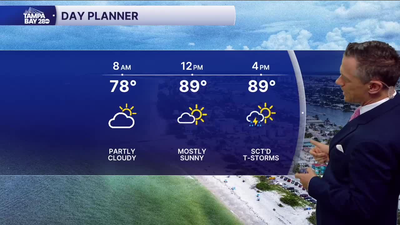


Scattered pop-up storms return today.
Don't expect much in the way of rain this morning. But scattered storms will begin to develop by midday today. Look for about 40% coverage west of I-75, with that coverage increasing to near 60% once you get out east toward Highway 27 later this afternoon and evening. Highs will reach the low 90s.
Rain coverage on Thursday looks to be similar, with highs returning to the low 90s this afternoon.
We'll finally get a solid pattern change by the weekend. Friday night into Saturday, winds should shift to a more offshore flow. This will allow rain to move in from the east, which usually brings higher rain coverage near the coast in the afternoon and evening. Highs may be a couple of degrees higher because the sea breeze is delayed.
Have a great Wednesday!
