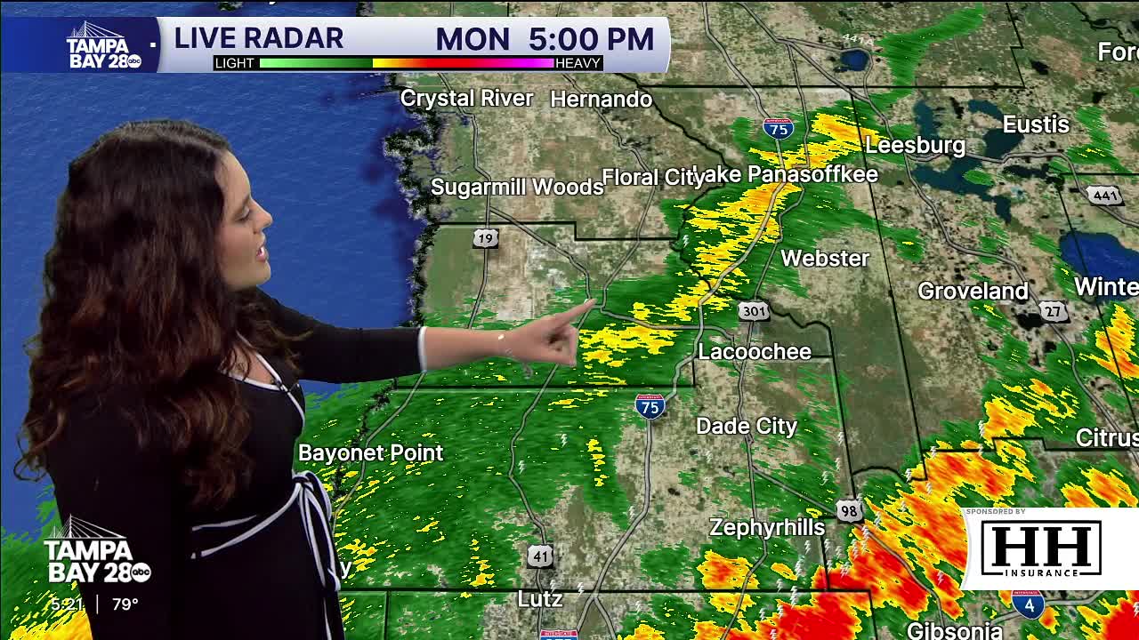


TAMPA — Good afternoon & evening Tampa Bay! Strong to severe showers and storms are moving through ahead of our cold front. A Tornado watch is up for Citrus & Hernando counties until 8 PM EDT. Storms will move through our area till roughly 8 PM. The SPC has placed us north of Hardee & Manatee counties under a level 2/5 risk for strong to severe storms. Temps will stay in the 80s until the front moves through. Damaging winds is the main concern with this line.
After the line passes through, temps will drop dramatically. Tuesday morning lows will be in the 40s and 50s. Highs struggle to break 60 degrees. It will be chilly and sunny. Wednesday morning lows still stay cold in the 40s and 50s. Highs rebound back to near 70 degrees. The rest of the week remains very quiet with sunshine as temps rebound back to the 80s with lows in the 60s.
Be safe!
