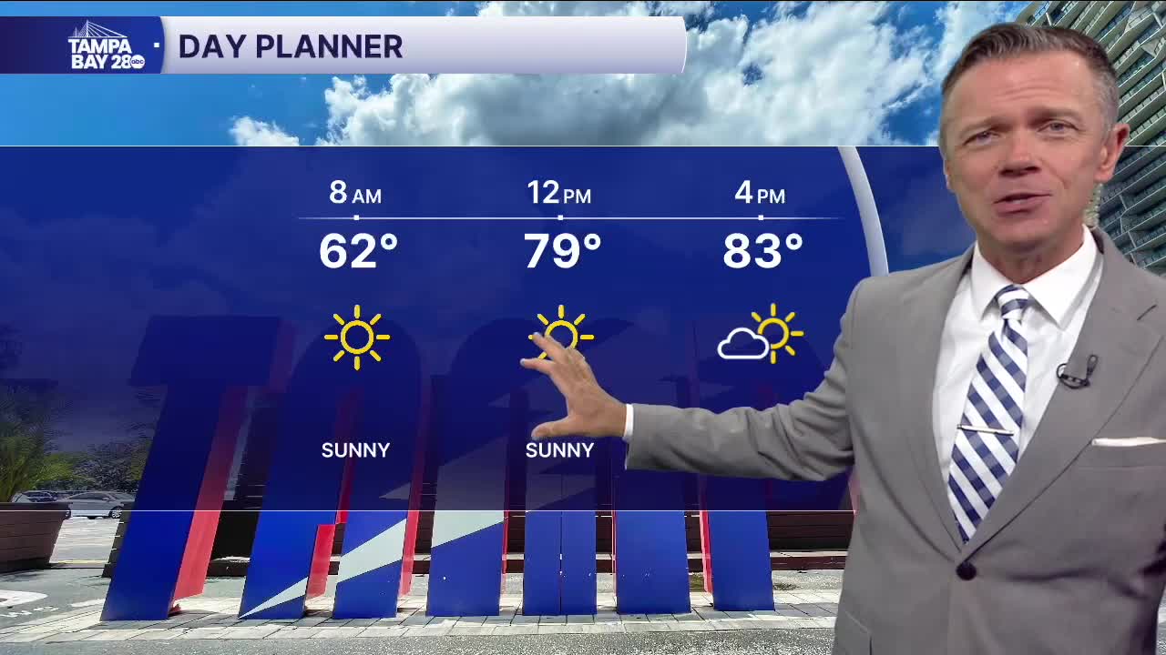


TAMPA, Fla. — It's surprisingly cool out there this morning, with some north of the Bay starting in the 40s while most are in the 50s and 60s. These below-normal morning temperatures will not last long, so get out there early to enjoy them.
The afternoon will be typically warm with highs back in the low to mid-80s. Add to the warm temps a combo of dry air, gusty winds, and ongoing drought conditions, and the result is elevated wildfire danger today. Fire weather warnings have been issued for all of our area. No outdoor burning of any kind.
Humidity levels and clouds will begin to increase on Wednesday and for the rest of the week and into the weekend. This will help to reduce the danger of wildfires and will actually produce a few small and brief showers each afternoon. Coverage looks very low at around 10% or less each day.
By the weekend, we'll see temperatures slowly climb up toward 90. No major rainfall is expected over the next 7-10 days.
