


Sct'd rain likely today.
We're waking up this Monday morning with sct'd rain already on the radar. Temperatures are in the 70s. In places where the rain is not falling, skies are mostly cloudy.
An area of low-pressure to our west in the Gulf will linger near us through at least mid-week. This will bring in higher rain chances and more clouds throughout the next several days.
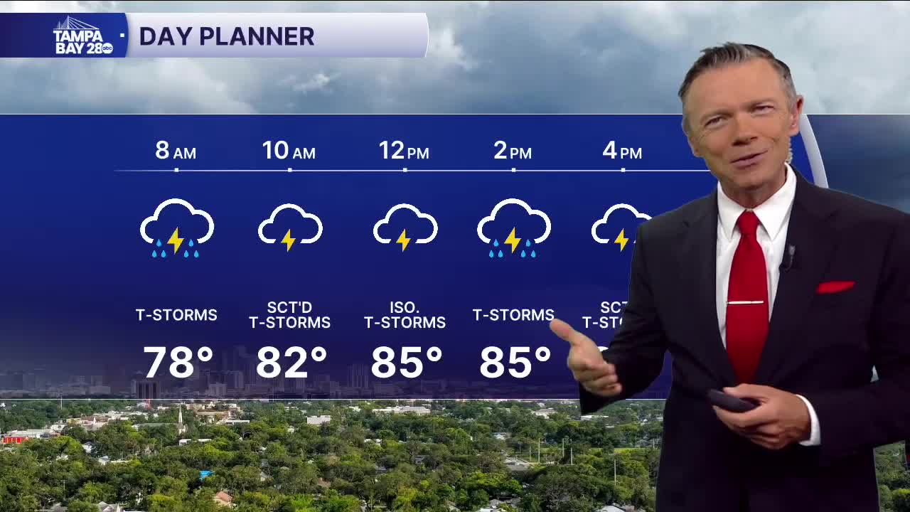
Although none of the next 3 days will be washouts, there could be rain at any time. Monday is the most likely to be wet in the morning. On Tuesday and Wednesday the heaviest rains are most likely in the afternoon and evening. Highs will remain in the 80s.
It's not set in stone yet, but, the models are suggesting we could see our first more widespread shot of some less humid air as we move into the weekend. This would reduce rain chances to below 20% and may even help drop our morning temperatures into the 60s away from the coast, with low 70s near the water, one or two mornings this weekend.
TROPICS: The NHC does not expect any development in the Atlantic basin over the next 7 days.
