


TAMPA, Fla. — There's a slight risk for severe weather across the Tampa Bay area on Thursday as a cold front moves across the area.
"Damaging wind gusts and hail will be the main hazards, but an isolated tornado can't be completely ruled out. Stay alert for possible watches and/or warnings tomorrow!" the National Weather Service said on Twitter.
Rain and storms will start mid-morning and will continue into the afternoon.
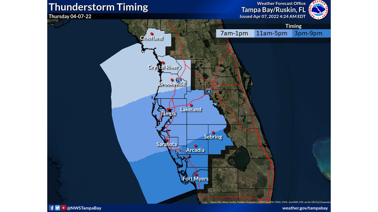
NWS
ABC Action News meteorologist Shay Ryan said there's a high rip current risk Thursday and a small craft advisory.
Following the storms, Ryan said the weather will be beautiful this weekend.
Earlier this week, golf ball-sized hail left damage behind in Highlands County.
